

| Place of Origin: | China |
|---|---|
| Brand Name: | NLD |
| Certification: | ISO9001 CE FCC |
| Model Number: | NIA-N5 |
| Minimum Order Quantity: | 1set |
| Price: | Negotible |
| Packaging Details: | Aluminum Box |
| Delivery Time: | 20days |
| Payment Terms: | L/C, T/T, D/P, D/A |
| Supply Ability: | 100sets/month |
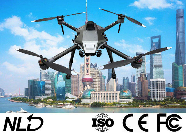
| Name: | Land Mapping Drone | Use: | Survey & Mapping |
|---|---|---|---|
| Camera: | Tilt Five Camera | Pixel: | 24 Megapixel |
| Total Pixels: | 120 Million | Drone: | 4 Rotors Drone |
| Highlight: | FCC Land Mapping Drone,IP64 Land Mapping Drone,1080P Drone Land Surveying |
||
Camera Drone Five-eye Tilt Photogrammetry Camera 24 Megapixel Tilt Five Camera for Land Survey Mapping
![]()
Description
Equipped with five high-pixel multi-angle tilt photography lenses, it can break through the limitations of traditional aerial survey cameras to obtain images from a single vertical angle. By carrying multiple image sensors on the same flight platform, real images with spatial information are collected from different vertical and tilt angles at the same time, and with more comprehensive details of the texture of the ground objects, it presents users with a real and intuitive world that is in line with human vision. . The true 3D data of oblique photography can realistically reflect the appearance, unknown, height and other attributes of the ground objects, enhance the high immersion brought by the 3D data, and make up for the shortcomings of traditional artificial modeling and simulation. At the same time, using the currently more popular UAV equipped with a tilt camera for terrain surveying and mapping with an automatic modeling system can bring revolutionary efficiency improvements to the field of surveying and mapping.
Features
* The body is equipped with an OLED display, which can display camera information in real time
* Five cameras are powered by a unified external power supply, and five memory cards use a unified USB interface to read data
* Fault self-checking alarm
* Intelligent temperature control and heat dissipation
* Professional surveying and mapping lens, ultra-high surveying and mapping work efficiency
* Support difference, support image transmission
Camera parameters
| Sensor parameters | Quantity | 5 CMOS |
| Power on/off state | 5 CMOS switches at the same time | |
| Electrical parameters | Camera power supply | 5 cameras unified external power supply |
| Battery life | UAV external power supply | |
| Photo reading | One USB interface reads 5 camera data uniformly | |
| Camera parameters | Effective Pixels | 24.3 million, 120 million pixels in total |
| Sensor size | APC format (23.5*15.6mm) | |
| Pixel size | 3.9um | |
| Image Resolution | 6000*4000 | |
| Slope | 45° | |
| Storage capacity | 320G (upgradeable) | |
| Exposure method | Flight control trigger exposure | |
| Exposure time | ≥0.8S | |
| Lens focal length | 35mm | |
| Working environment | Operating temperature | -10℃~40℃ |
| Working humidity | 95% | |
| Protection level | IP64 | |
| Physical dimension | Size | 135mm*135mm*92mm |
| Gross weight | 650g |
![]()
Drone Configuration
| Drone Frame | 4-rotor drone frame | 1 |
| Flight control | PX4 | 1 |
| Remote controller |
Highlight tablet with Android system / Industrial-grade radio anti-interference ability Remote data transmission and image transmission three in one 1080P HD image transmission / Support Ethernet/HDMI video input |
1 |
| Li-battery | Super Lip Battery 12000mah | 1 |
| Propeller | 2sets each set 4pcs | 8 |
| Charger | Smart charger | 1 |
| Tools | 1 | |
| Aluminum box | 1 |
Drone Introduction
| NIA quad rotor industry drone is suitable for smart cities, police safety, road traffic, environmental protection and water conservancy, power line inspection, emergency rescue, oil pipeline inspection, surveying and other fields. | |||
| Aircraft size | 460x460x250mm | Long battery life | Max 60min |
| Weight | 2.4kgs | Payload | 1.5kgs |
| Max takeoff weight | 4kgs | FPV camera | 1080P |
| Work temperature | -10~50℃ | Max wind speed | 15m/s |