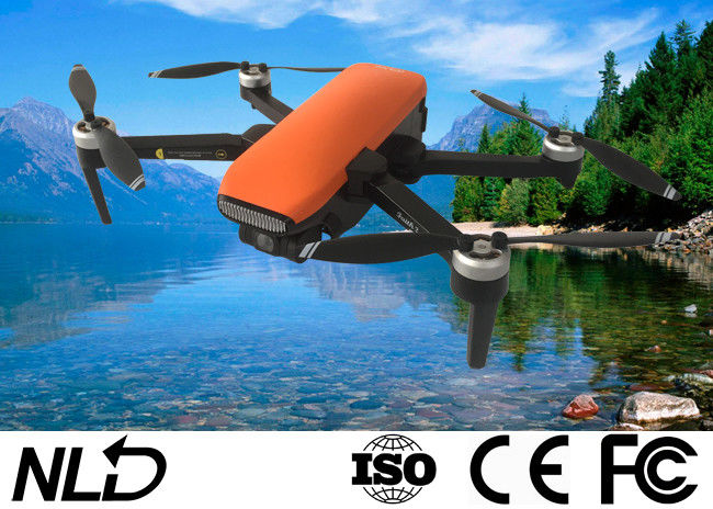
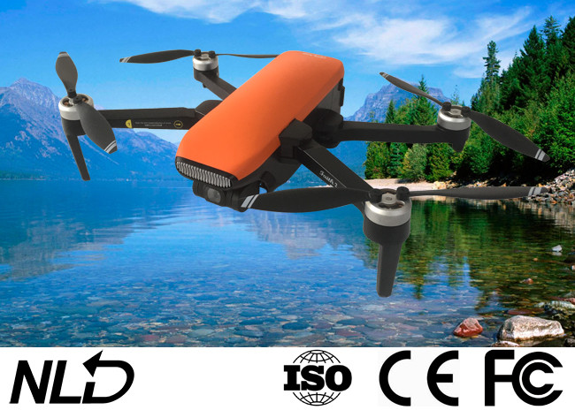
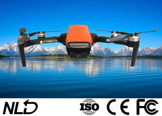
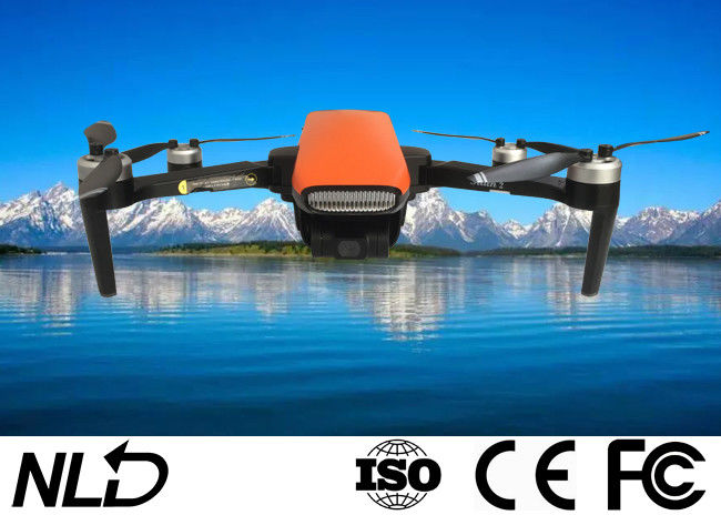
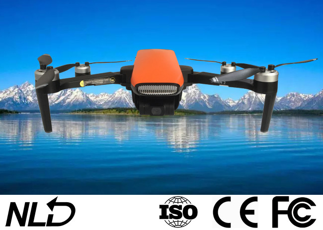
ISO9001 5000m Intelligent Aerial Photography Drone With GPS 4 Rotors

Basic Information
Place of Origin: China
Brand Name: NLD
Certification: ISO9001 CE FCC
Model Number: NTA-CFLY-16
Minimum Order Quantity: 1set
Price: Negotible
Packaging Details: Oxford bag
Delivery Time: 20days
Payment Terms: L/C, T/T, D/P, D/A
Supply Ability: 100sets/month
Name: 4 Rotors Camera Drone Structure: Compact
Flight: Stability Motor: Brushless
Propelle: Replaceable Package: Oxford Bag
High Light:

5000m intelligent aerial photography drone with gps

,

ISO9001 intelligent aerial photography drone with gps

,

ISO9001 4 Rotors aerial drone

4 Rotors Camera Drone Compact Structure, Flight Stability, Brushless Motor, Replaceable Propeller
ISO9001 5000m Intelligent Aerial Photography Drone With GPS 4 Rotors 0
Note:
Please use micro SD card with transmission speed of Class 10 and above or UHS-1 rating.
Do not install or remove the Micro SD card while the aircraft is powered on. Otherwise, errors will occur for the data stored.
 
Aircraft diagram

  1. ​​CCW Motor and Propeller;
  2. Head arm with optical flow status indicatior light;
  3. Gimbal and Camera;
  4. CW Motor and Propeller;
  5. Flight status indicator light;
  6. Aircraft battery;
  7. Micro SD card slot;
  8. Landing gear

ISO9001 5000m Intelligent Aerial Photography Drone With GPS 4 Rotors 1
ISO9001 5000m Intelligent Aerial Photography Drone With GPS 4 Rotors 2
ISO9001 5000m Intelligent Aerial Photography Drone With GPS 4 Rotors 3
Specification
1. Aircraft

Size(Fold)170*108*74mm(L*W*H)
Size(Unfold)180*255*74mm(L*W*H)
Wheelbase280mm
Weight515g
Max Ascent Speed

Clam mode: 2m/s
Normal mode: 2m/s
Sport mode: 5m/s

Max Descent Speed

Clam mode: 1.5m/s
Normal mode: 1.5m/s
Sport mode: 2m/s

Max Speed

Clam mode: 5m/s
Normal mode: 10m/s
Sport mode: 19m/s

Max Service Ceiling Above Sea5000m
Max Fight Time35mins
Satellite Positioning SystemsGPS/GLONASS
Hover Accuracy Range

Vertical: +/-0.5m±0.2m(ultrasonic system, optical flow system works)
Horizonal: +/-1.5m±0.3m(ultrasonic system, optical flow system works)

Maximum Flight Height120m(Maximum 500m(Need to change setting on app))
Operating Temperature Range0℃-40℃


2. Optical flow system

Operating EnvironmentSurface with clear pattern and adequate lighting(lux>15)
Velocity Range≤1.5m/s at 6.6 ft (2m) above ground
Altitude Range0.2-4.5m


3. Ultrasonic altitude system

OperatingExcept for surface of water or ground of absorbing material(such as thick carpet)
Velocity Range≤3m/s
Altitude Range0.2-4.5m


4. 3-axis Gimbal

ControllablePitch: -90°-0°
Stabilization

Pitch: +30/-120°
Roll: ±35°
Yaw: ±30°


5. Camera

SensorAmbarella A12, SONY CMOS
Image Size5120*3840(20MP)
Shooting modeSingle shot
Video Recording Resolution3840*2160
Maximum Video Bit60Mbps
Supported File SystemsFAT32(<=32GB)/exFAT(>32GB)
PhotoJPEG
VideoMP4
Supported SD CardsMicro SDTM Max capacity: 128GB, UHS-I Speed Grade 3 rating required
Operating Temperature Range0℃-40℃

 
6. Battery

Capacity3100mAh
Voltage11.4V
Battery TypeLiPo 3S
Energy35.34Wh
Net Weight196g
Max charging power35W
Charge time<5h(with 5V 2A adapter)
Charging Temperature Range0℃-40℃

ISO9001 5000m Intelligent Aerial Photography Drone With GPS 4 Rotors 4
7. APP

Mobile APPC-Fly 2
Live View Quality720P
Aerial Photography modedronie, rocket, circle, helix
Required Operating SystemsAndrio 5.0 above, ISO 9.0 above
FPV Transmission Distance5000m

 
8. Charger

Input5V 2A(recommend)
Output4.35V 0.7A*3
Rated Power10W

 
9. Remote Controller

Operating Frequency5.8GHz
Max Transmission Distance5000m
Transmitter Power(EIRP)

FCC: ≤23dBm
CE: ≤14dBm
SRRC: ≤20dBm

Operating Current/Voltage500mA@3.7V
Capacity2600mAh
Battery Capacity(built-in)3.7V
Battery TypeLiPo 18650 1S
Battery Power9.62Wh
Operating Temperature Range0℃-40℃
Supported Mobile Device SizeThickness Supported: 6.5-8.5mm
ChargeUSB
Maximum Charge Power5W
Charge Time<3h(with 5V 2A adapter)


Contact Details
Green

Phone Number : +8618051955970

WhatsApp : +8618051955970