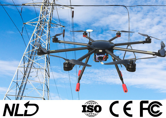
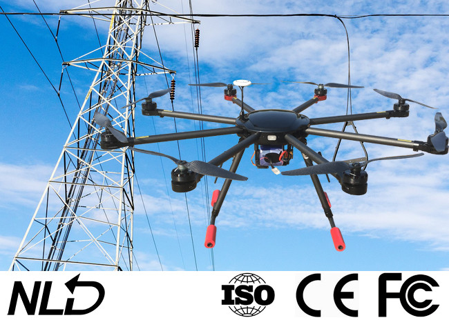
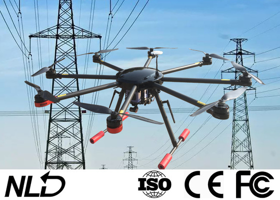
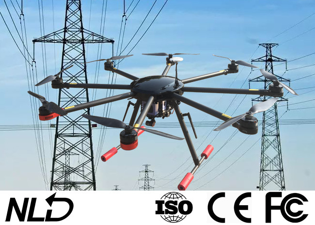
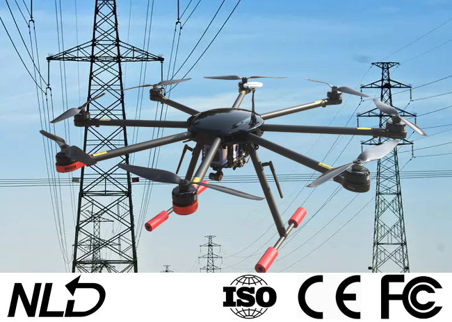
Horizontal Folding Powerline Drone 0-1000m Flight Height

Basic Information
Place of Origin: China
Brand Name: NLD
Certification: ISO9001 CE FCC
Model Number: NPA-805H
Minimum Order Quantity: 1set
Price: Negotiable
Packaging Details: Box
Delivery Time: 15~25 days
Payment Terms: L/C, T/T, D/P, D/A
Supply Ability: 100sets/month.
Diameter Of Traction Rope: 2-4mm Working Temperature: -5℃---50℃
Maximum Take-off Weight: 14kg Axle Distance/Height: 1080mm/450mm
No-load Endurance: 25-30min Type: NPA-805H Powerline Drone
High Light:

Horizontal Folding Powerline Drone

,

16000mAh 6S Battery Powerline Drone

NPA-805H Powerline Drone Horizontal Folding 0-1000m Flight height


NPA-805H
Axle distance/Height 1080mm/450mm Camera Single Axis Gimbal 720P
Fail-Safe with GPS with
Maximum tension 8kg No-load endurance 25-30min
Maximum take-off weight 14kg Load endurance 12-18min
Flying speed 0~15m/min Flight mode Manual control; ATT; GPS
Empty weight 4kg Battery 16000mAh 6S
Maximum flight distance 2-4km Flight height 0-1000m (adjustable)
Working Temperature -5℃---50℃ Diameter of traction rope 2-4mm
Functions: GPS positioning, full-auto return, semi-auto return, runaway protection, headless mode, heading lock, low-voltage protection alarm, battery power backhaul, national exclusive high beam function, OSD flight data real-time backhaul, etc.
1 Drone with DJI flight control system 1 set
2 Dual channel charger 1 set
3 Professional remote control NIRC1 1 set
4 16000mah high quality battery 2 pcs
5 6.5” screen mobile phone -
6 Battery voltage capacity checker 1 set
7 Tool kits 1 set
8 Aviation aluminum box 1 pcs
9 Spare screws 1 pack
10 Backup battery strap 4 pcs
11 Spare propeller 8 pcs


Horizontal Folding Powerline Drone 0-1000m Flight Height 0


Remote controller NIRC5

Ultra HD 1920*1080, 5.5” high-brightness high-definition display;

Ultra-long data link, FHSS spread spectrum technology, full-angle gain antenna, measured pull distance 5 kilometers;

Long endurance, 10000mAh built-in battery, 6~20 hours endurance;

Super scalability, S.Bus/PPM/PWM/serial port and other interfaces;

Super open source, provide SDK and protocol documents;

Super easy to use, android system;

A better interactive interface, a larger controllable map field of viewing, the aircraft implements intelligent waypoint planning, automatic execution, automatic follow-up, and one-click home, highly provides working effectiveness in professional fields.


Application

1. During the construction of the State Grid, the trees in the primary forest often encounter shrubs, primary forests, etc. This will certainly affect the progress of the project. When crossing the virgin forest, trees cannot be cut down. This undoubtedly adds great difficulty to the construction of the project, and with rows of UAVs, it is easy to fly over trees and drop a guiding rope to the ground.

2. In the traditional laying operation on the Yangtze River, the towline can only be towed by tugboats on the water surface. The construction water surface must be sealed first. The closure of navigation will also cause great economic losses to the state and the construction party. The staff stood on the ship and dragged the helicopter's guide rope remotely, so that the guide rope could fly over the Yangtze River to avoid sealing.

3. Swamps, lakes, farmland, highways and mountainous areas will also be encountered during construction. When people cannot realize the construction of the line, UAVs will also fly high to complete the line task.

4. In the process of circuit reconstruction, there is usually cross power charging. It is necessary to bridge a new line on the basis of the energized line. In order to ensure the safety of construction workers, traditional construction can only be used first. After the line is cut off and built, aerial drones can be used to avoid power failure.


Contact Details
Green

Phone Number : +8618051955970

WhatsApp : +8618051955970